
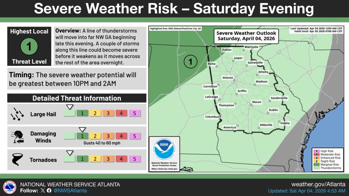
A line of thunderstorms is expected to push into far northwest Georgia late tonight, bringing the risk of damaging winds, large hail, and tornadoes.
What’s Happening: The National Weather Service says the most dangerous window is between 10 p.m. and 2 a.m. The system carries a rating of 1 out of 5, known as a Marginal Risk, meaning a few isolated severe storms are possible but a widespread severe weather event is not expected.
What’s Important: Wind gusts between 40 and 60 mph are the primary threat. As the storms move east across the rest of the state overnight, the severe weather risk is expected to decrease.
Before the Main Line Arrives: Scattered showers and storms are likely to develop across the area this afternoon and early evening. Some of those storms could produce gusty winds and small hail before the main line moves in.
The Path Forward: The storm system is forecast to weaken as it tracks east through the night. The National Weather Service outlook covers conditions through 7 a.m. Sunday. People in northwest Georgia, including areas near Rome, Dalton, and Carrollton, face the highest risk and should keep a close eye on weather conditions through the overnight hours.
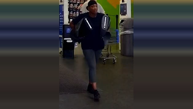
- Villa Rica Walmart shoplifter caught on camera
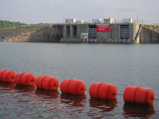
- New Buford Dam rules aim to boost oxygen levels in Chattahoochee River
- Kemp temporarily suspends the state gas tax as prices at the pump continue to soar
- Brian Kemp gets out his gun in new campaign ad
- Unusual proposal requiring Georgia election workers to ‘shuffle’ ballots at the polls fails to find support

B.T. Clark is the Publisher of The Georgia Sun and author of Principles Are Like Pants… You Ought to Have Some. Over two decades in journalism, he has served as Managing Editor of Neighbor Newspapers in metro Atlanta and Digital Director at Times-Journal Inc., earning multiple awards along the way. His work has appeared in newspapers across the state, including The Cherokee Tribune and The Marietta Daily Journal.
- B.T. Clark
- B.T. Clark
- B.T. Clark
- B.T. Clark