

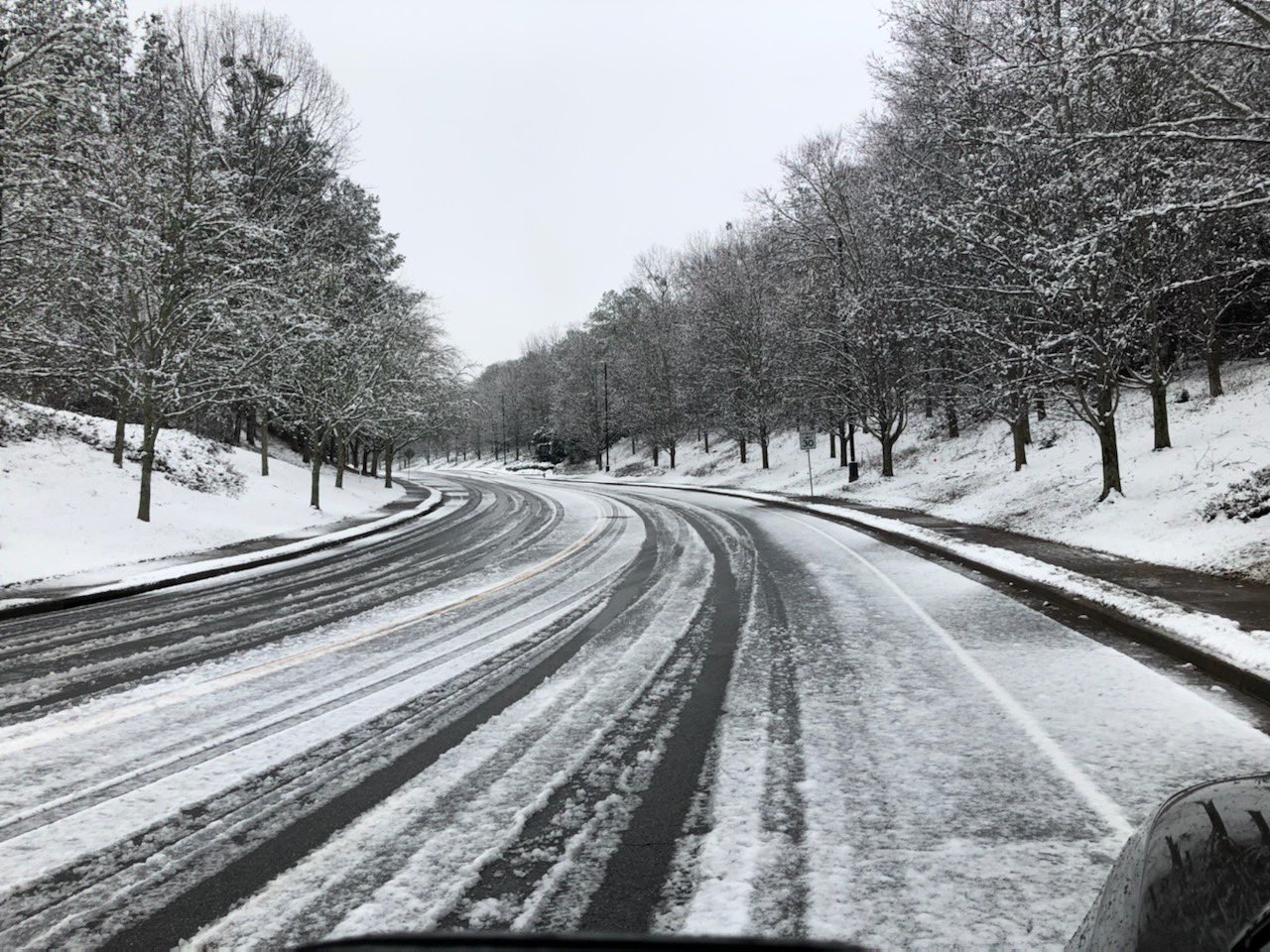
A strong cold front is moving through north Georgia, bringing the chance of snow showers and sharply colder temperatures early this week.
What’s Happening: Overnight, gusty rain showers with isolated thunderstorms are expected ahead of the approaching front. Severe weather is unlikely, but heavy rainfall and strong winds may occur.
By Monday, temperatures will drop significantly behind the front, leading to the possibility of snow showers, particularly in northern parts of the state. No significant accumulation is expected.
Why It Matters: This marks the first chance of snow for the season in north Georgia. Drivers should remain alert to changing road conditions, especially during early morning hours.
What’s Next: Colder air will dominate the region through Friday. Forecasts also indicate a chance for wintry precipitation by Friday night. Residents are advised to monitor updates and prepare for potentially icy conditions later in the week.
Stay tuned for further weather updates as the situation develops.
[mailerlite_form form_id=21]
B.T. Clark is the Publisher of The Georgia Sun and author of Principles Are Like Pants… You Ought to Have Some. Over two decades in journalism, he has served as Managing Editor of Neighbor Newspapers in metro Atlanta and Digital Director at Times-Journal Inc., earning multiple awards along the way. His work has appeared in newspapers across the state, including The Cherokee Tribune and The Marietta Daily Journal.
- B.T. Clark

- B.T. Clark

- B.T. Clark

- B.T. Clark
