

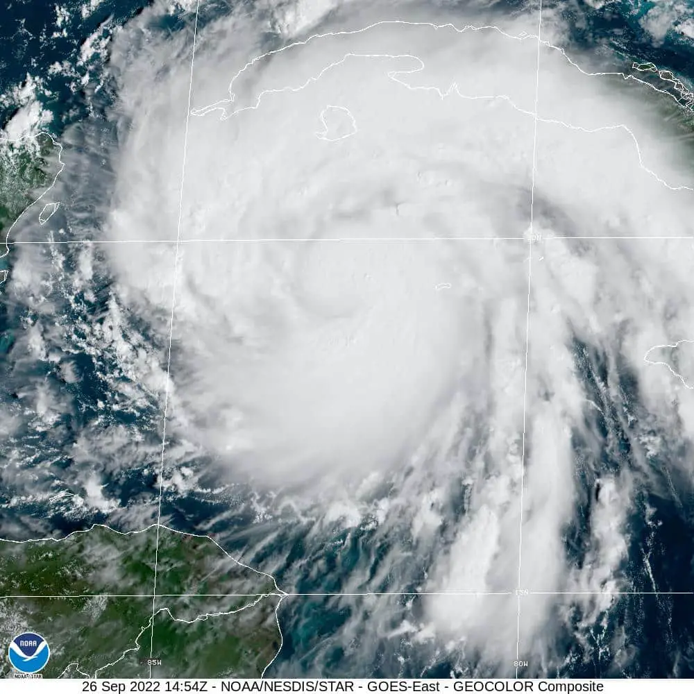
According to the National Weather Service and the National Hurricane Center. Hurricane Ian’s track has moved a little to the East.
The storm is now expected to move across Florida after coming inland around Tampa Bay. It looks as if it will cross Florida at a point much lower than the Georgia-Florida boarder. That will allow the storm to potentially regain its strength once it reaches the water of the Atlantic Ocean.
Current projections show that Ian will skirt up the Florida, Georgia and South Carolina coast. However, what the strength the storm will be at the time it reaches the Atlantic Ocean will not be known until later.
For the Coastal Georgia area it looks like residents will see an increase in wind starting tonight around 8 to 10 p.m. The area could possibly see tropical force winds between 37 and 73 mph and between two and six inches of rain between Thursday and Saturday.
Bulloch County officials are reminding residents that this information contains predictions and could change as Hurricane Ian makes landfall. Issues such as the storm stalling in place and coming apart over time as well as it going further out into the Atlantic Ocean once it crosses Florida are all possibilities.
[mailerlite_form form_id=13]