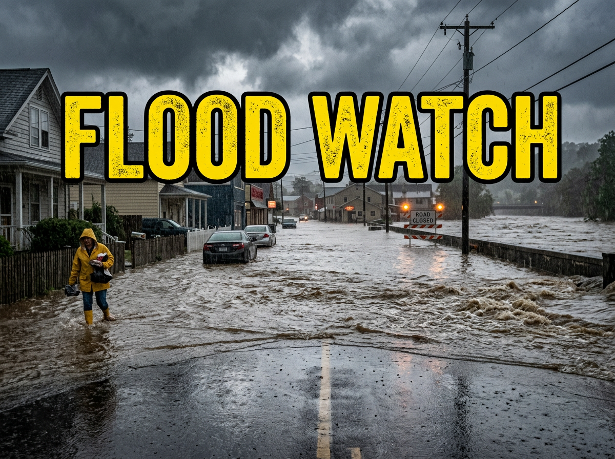
A Flood Watch is in effect for 22 counties across north, northeast, and northwest Georgia through Friday evening. Forecasters say repeated rounds of heavy rain could push rivers, creeks, and low-lying areas over their banks.
What’s happening: The watch stretches from the Tennessee state line south through the foothills, covering Dade, Walker, Catoosa, Whitfield, Murray, Fannin, Gilmer, Union, Towns, Chattooga, Gordon, Pickens, Dawson, Lumpkin, White, Floyd, Bartow, Cherokee, Forsyth, Hall, Banks, and Polk counties. The current watch expires Thursday at 8 p.m., but the flood risk runs through Friday evening.
Why it’s happening: A weather front has stalled over the region. Forecasters say an unusually high amount of moisture in the air is driving heavy rain rates, with 2 to 4 inches expected across the area and some spots picking up 5 inches or more.
Where the risk is highest: Urban neighborhoods and areas with poor drainage are most likely to flood quickly. Rivers, creeks, and streams are also at risk of overflowing, along with any low-lying land nearby.
What this means for you: If you live near a creek or in a neighborhood that floods easily, conditions could get bad fast. A Flood Watch means flooding is possible. If the National Weather Service upgrades to a Flood Warning, that means flooding is happening or about to happen and you need to act.
The path forward: The watch expires Thursday at 8 p.m., but forecasters say additional watches or warnings are possible as the stalled front continues pushing rain through the area into Friday.

B.T. Clark is the Publisher of The Georgia Sun and author of Principles Are Like Pants… You Ought to Have Some. Over two decades in journalism, he has served as Managing Editor of Neighbor Newspapers in metro Atlanta and Digital Director at Times-Journal Inc., earning multiple awards along the way. His work has appeared in newspapers across the state, including The Cherokee Tribune and The Marietta Daily Journal.
- B.T. Clark

- B.T. Clark

- B.T. Clark
- B.T. Clark