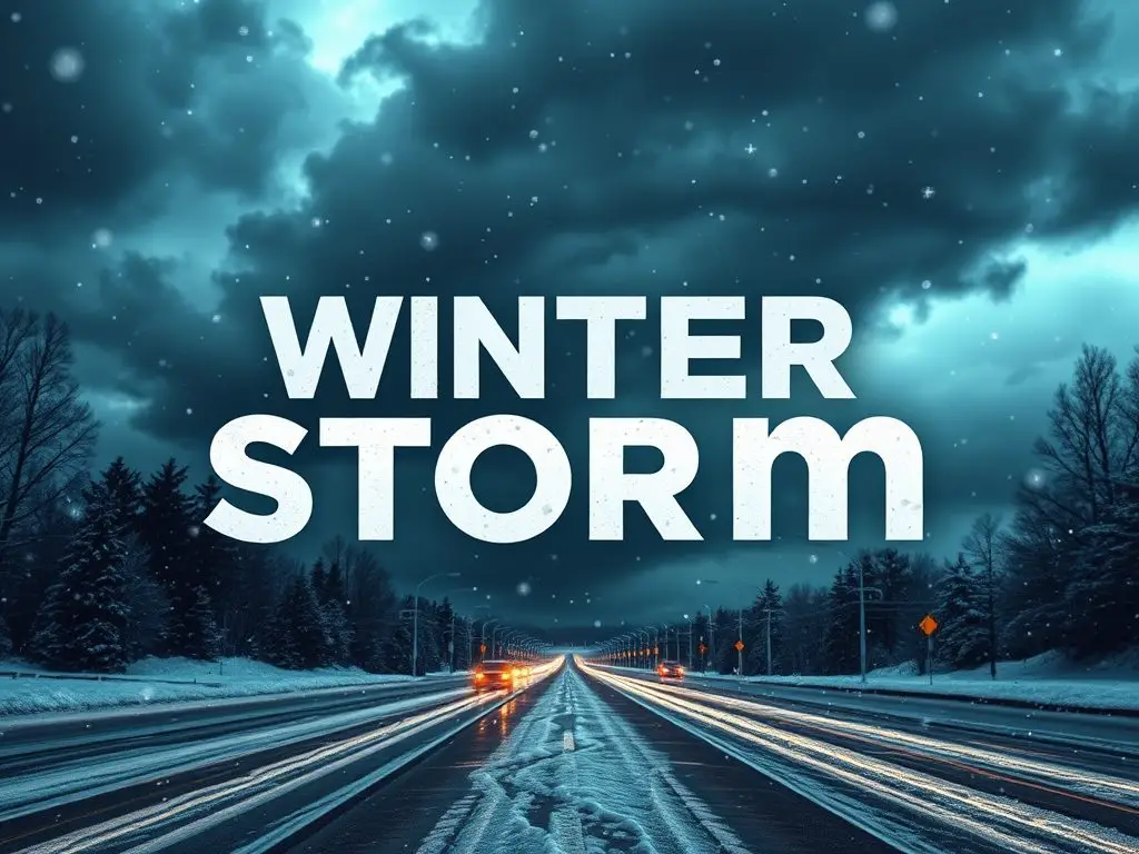
An active weather pattern has our north Georgia neighbors watching the skies this week, as a chance of snow enters the forecast.
🌨️ What We Know: A winter weather system could bring light snow to far north Georgia late Wednesday night, continuing into early Thursday morning. Before the potential snow arrives, thunderstorms will sweep through the region Sunday, bringing heavy rainfall and possible severe conditions.
⚡ Weather Alert: Forecasters warn some thunderstorms could pack a punch tonight through Sunday morning, with damaging wind gusts possible. A brief tornado cannot be ruled out as the storm system moves through central and east Georgia.
💧 Why It Matters: River flooding continues to plague portions of north Georgia. The additional rainfall expected this weekend could worsen flooding conditions through early next week.
🗓️ What’s Next: Residents should monitor local weather updates closely as this active pattern unfolds. The chance of snow, while exciting for many, could impact Thursday morning commutes in far north Georgia.
🤝 Remember The Golden Rule: If you encounter flooded roadways, turn around, don’t drown. Keep an eye on elderly neighbors during potential severe weather, and ensure they have proper heating during the upcoming cold snap.
[mailerlite_form form_id=5]
B.T. Clark is an award-winning journalist and the Publisher of The Georgia Sun. He has 25 years of experience in journalism and served as Managing Editor of Neighbor Newspapers in metro Atlanta for 15 years and Digital Director at Times-Journal Inc. for 8 years. His work has appeared in several newspapers throughout the state including Neighbor Newspapers, The Cherokee Tribune and The Marietta Daily Journal. He is a Georgia native and a fifth-generation Georgian.
- B.T. Clark

- B.T. Clark

- B.T. Clark

- B.T. Clark