
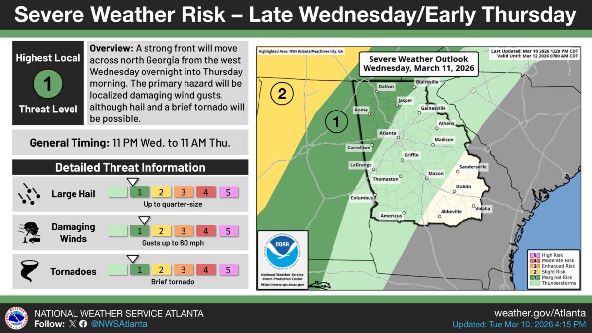
A cold front will push storms through north and central Georgia from Wednesday night into Thursday, the National Weather Service office in Peachtree City said.
What’s Happening: Some of those storms could turn severe, capable of producing damaging wind gusts, hail up to 1 inch across, and a brief tornado. The weatger said the highest risk will be in areas north of I-85.
What’s Important: Not all storms are expected to be severe, but the weather service officials said a few could reach that threshold. North Georgia communities above I-85 face the greatest chance of dangerous conditions.
How This Affects Real People: Georgians living north of I-85 should be prepared for possible damaging winds, large hail, and a brief tornado Wednesday night into Thursday.
The Path Forward: The cold front is expected to move through the area by Thursday. Conditions are tied to the front’s pace and track.
