
Cherokee County activated its Emergency Operations Center at 1 p.m. Saturday and officials are urging residents to be home by sundown Saturday as forecasters predict the most significant ice storm to hit the area since January 2000.
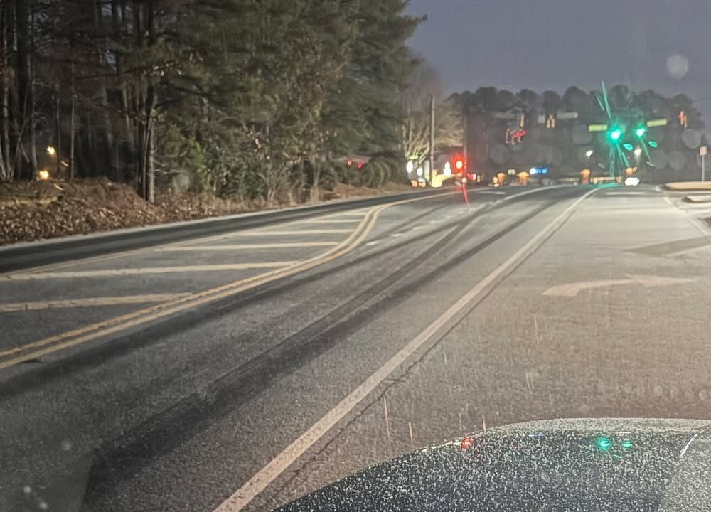
What’s Happening: The National Weather Service forecasts ice accumulations of 0.50 to 1 inch across Cherokee County beginning Saturday afternoon through Monday morning. Wind gusts of 20 to 40 mph are expected. An Ice Storm Warning is in effect for Cherokee County. Temperatures are expected to drop into the teens.
What’s Important: The ice accumulation and wind gusts will create hazards to roadways and cause downed trees and power lines, leading to potentially long-duration power outages. Public safety and law enforcement personnel will have to navigate icy roads to respond to emergencies, which could extend response times. The Emergency Operations Center will remain activated until the event is over.
How This Affects Real People: Residents who need to travel should be at their destination by sundown Saturday. Ice weighs down trees and power lines and could cause extended power outages. Drivers will face dangerous road conditions from Saturday afternoon through Monday morning.
The Path Forward: Cherokee County Public Works will pre-treat roads after rain moves through. Eight trucks with granular material and several plow attachments are staged and ready. Bridges and main roads are prioritized. The Georgia Department of Transportation began pre-treating state highways Friday morning.
What Officials Are Saying: County and city departments met after the National Weather Service weather briefing to discuss operational planning. All Emergency Support Functions have made operational preparations and are ready to handle any situation that occurs from the ice storm. Officials are urging residents to stay off the roads until the weather event is complete.
How to Stay Informed: Residents who have not signed up for Rave Alert are encouraged to do so at smart911.com.

ON SNOWPOCALYPSE:
“Like most metro Atlanta residents at the time, I dismissed the warnings and scoffed at the meteorologists who cried “snow” at the drop of a thermometer. After all, in Atlanta, snow forecasts are as reliable as Hollywood marriages. The reflexive grocery stampedes for bread, milk, and eggs seemed like a seasonal ritual more for omelet enthusiasts than survivalists.”
