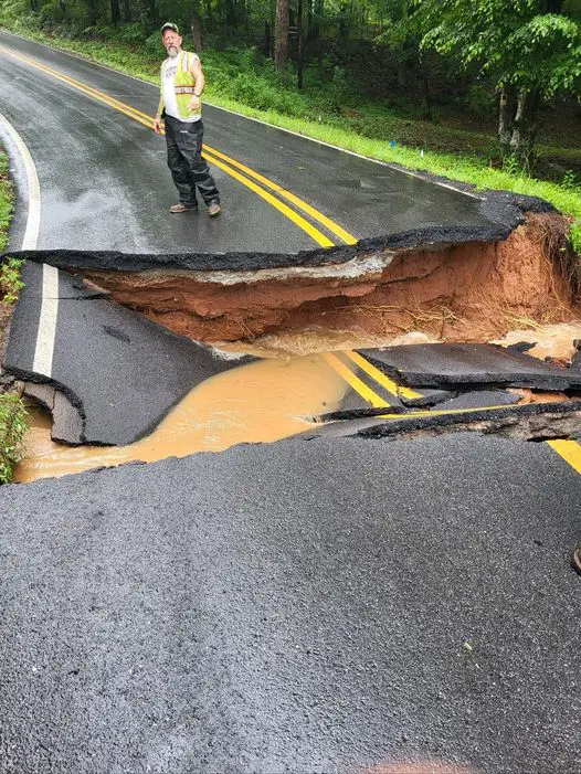
🌧 The Gist: North and Central Georgia brace for moderate to heavy rainfall and severe storms tonight through Monday.
🌩 The Details: A Flood Watch is in effect for regions north of a LaGrange to Warrenton line, due to expected moderate to locally heavy rainfall tonight. Isolated to scattered thunderstorms could escalate, with an outside chance of a severe storm bringing damaging winds and lightning. The weather threat escalates into early Monday with the potential for severe storms capable of damaging winds and isolated tornadoes.
🔍 The Big Picture: This weather event is part of a larger pattern affecting the Southeast, with several low-pressure systems contributing to the severe weather conditions.
❓ Why It Matters: The anticipated conditions could lead to localized flooding, property damage, and pose safety risks to residents in the affected areas.
🛠 What You Can Do: Stay informed on weather updates, adhere to safety advisories, and prepare for potential evacuations or safety measures.
🚀 What’s Next?: Weather conditions are expected to persist through Monday evening, with a Flood Watch in effect. Residents should monitor for updates and be prepared for evolving weather situations.

Thom Chandler
Thom Chandler is the editor of The Georgia Sun and has been writing, editing and managing websites and blogs since 1995. He is a lifelong Georgian and one of those increasingly rare Atlanta natives.


