
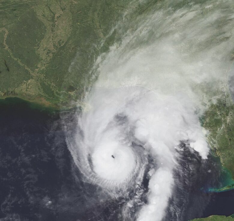
Hurricane Isaias is bearing down on the Gulf Coast and is expected to bring dangerous conditions to much of Georgia starting Friday night and lasting through the weekend.
What’s happening: As of early Friday morning, Isaias had maximum sustained winds of 110 mph and was moving northeast at about 15 mph, located roughly 290 miles south-southwest of Panama City, Florida. The storm is expected to make landfall somewhere along the Florida Panhandle or southern Alabama coast tonight as a dangerous hurricane, then push inland and track toward Georgia on Saturday.
For North and Central Georgia: Residents across a wide swath of the state, from the Atlanta suburbs to Columbus and Macon, should expect a prolonged stretch of rough weather Saturday into Sunday. The main threats are:
- Wind gusts of 40 to 50 mph, with the strongest winds in North Georgia lasting from early Saturday through early Sunday
- Rainfall of 1 to 3 inches across most of the region, with some spots seeing up to 5 inches
- Several tornadoes possible, particularly overnight Saturday into Sunday morning, when they can develop quickly and with little warning
A Tropical Storm Watch is in effect for a band of West-Central Georgia counties including Muscogee, Harris, Troup, Meriwether, Heard, Talbot, Taylor, Marion, Schley, Stewart, Webster, Macon, Chattahoochee, Upson, Pike, and Sumter. A High Wind Watch covers most of North Georgia.
For South Georgia: Counties in the south-central part of the state, including Berrien, Lanier, and Lowndes, face a Flood Watch through Saturday evening. Isaias is expected to dump 4 to 8 inches of rain across that area, with isolated spots seeing 10 to 15 inches. Soils are already saturated from recent rain, making flash flooding more likely.
For Southeast Georgia: A separate Flood Watch runs through Saturday evening for a large portion of the region, including Coffee, Appling, Wayne, Glynn, Camden, Ware, Charlton, Clinch, Echols, Atkinson, Bacon, Brantley, Jeff Davis, and Pierce counties. Rainfall of 1 to 3 inches is expected, with some areas seeing up to 5 inches.
Satilla River flooding: The Satilla River near Atkinson in Brantley County is expected to rise above flood stage Saturday night and crest around 13.1 feet Sunday afternoon. At that level, roads near Warners Landing, Louis Landing, and KOA campgrounds will flood. River Rock Road could see water across the road if the river reaches 14 feet.
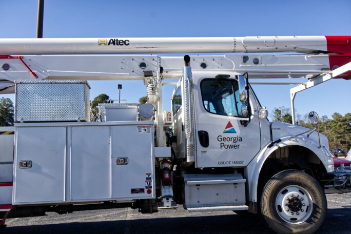
What this means for you: Downed trees and power outages are likely across North and Central Georgia. Roads may become impassable in some areas, particularly overnight Saturday. If you live near a creek, stream, or low-lying area in South or Southeast Georgia, you should be ready to move to higher ground.
The path forward: The National Weather Service in Peachtree City will issue an updated statement for North and Central Georgia by 3 p.m. today. The Tallahassee office will update conditions for the Florida Panhandle and Southwest Georgia around noon. Conditions are expected to begin deteriorating across the Florida Panhandle this morning, with impacts spreading into Georgia later today and tonight.

B.T. Clark is the Publisher of The Georgia Sun and author of Principles Are Like Pants… You Ought to Have Some. Over two decades in journalism, he has served as Managing Editor of Neighbor Newspapers in metro Atlanta and Digital Director at Times-Journal Inc., earning multiple awards along the way. His work has appeared in newspapers across the state, including The Cherokee Tribune and The Marietta Daily Journal.
- B.T. Clark
- B.T. Clark

- B.T. Clark
- B.T. Clark

Trending stories loading…